On Tuesday, July 23rd, a delegation from the National Ocean Satellite Application Service (which belongs to the Ministry of Natural Resources of China), led by Prof. Jianqiang LIU (Deputy Director of NSOAS), visited the Institute of Marine Sciences (ICM-CSIC). The aim of the visit was to promote the Chinese ocean satellite programme and to seek strategic collaboration with the Barcelona Expert Centre (BEC) on remote sensing activities.
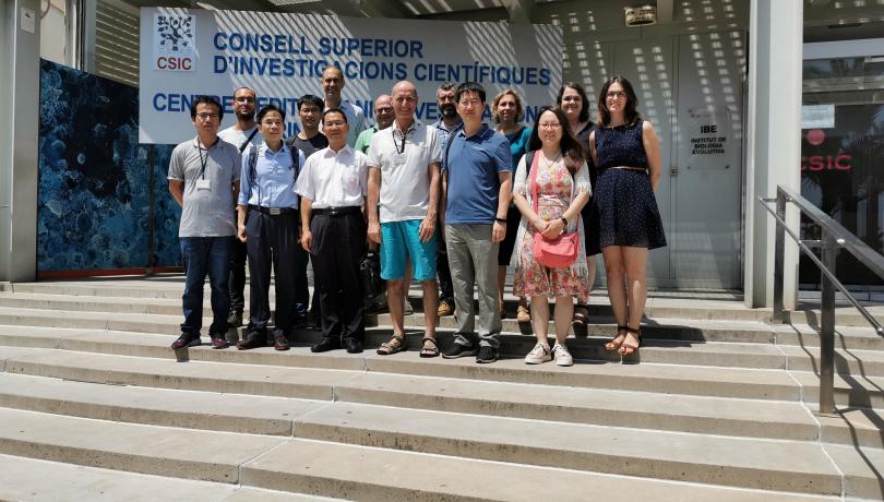
On Tuesday, July 23rd, a delegation from the National Ocean Satellite Application Service (which belongs to the Ministry of Natural Resources of China), led by Prof. Jianqiang LIU (Deputy Director of NSOAS), visited the Institute of Marine Sciences (ICM-CSIC). The aim of the visit was to promote the Chinese ocean satellite programme and to seek strategic collaboration with the Barcelona Expert Centre (BEC) on remote sensing activities.
The Chinese ocean satellite programme includes ocean colour (HY-1 satellite series), ocean dynamic monitoring (sea surface wind, ocean surface topography, and sea surface temperature and salinity from HY-2 series), and synthetic aperture radar (SAR, HY-3 series) missions. BEC has indeed wide experience in scatterometry/SAR (winds) and L-band radiometry (salinity) and is eager to collaborate with NSOAS on advanced remote sensing techniques, notably on calibration, image reconstruction, measurement error modelling, and inversion, to improve the quality of the different NSOAS satellite data products. It was noted that the near-real-time (NRT) data stream, particularly for scatterometer-derived winds, is of outmost importance for operational applications such as data assimilation into numerical weather prediction models. Moreover, other ICM research groups from the Department of Marine Biology and Oceanography showed particular interest in using ocean colour data for studying the dynamics of ocean chlorophyll and particulate organic carbon, especially to elucidate long term changes and to provide early warnings and monitoring of harmful algal blooms. They also offered the use of their 20 year in situ time series measurements for improvement of chlorophyll satellite algorithms in coastal areas.
Finally, it was agreed that in the coming months, NSOAS and CSIC will write a collaboration agreement, which includes on the one hand joint R&D activities on improved data processing of NSOAS satellite missions and, on the other hand, a specific data exchange policy between both institutions.